
Point Isabel -- December 13, 2005
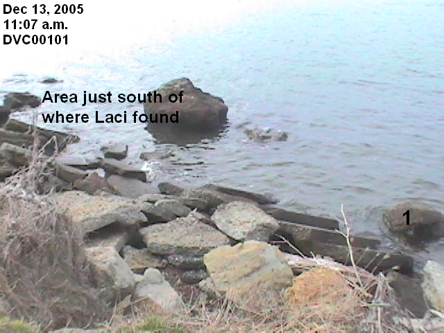
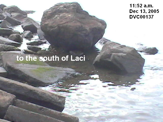
Purpose: To identify the precise location where Laci was found.
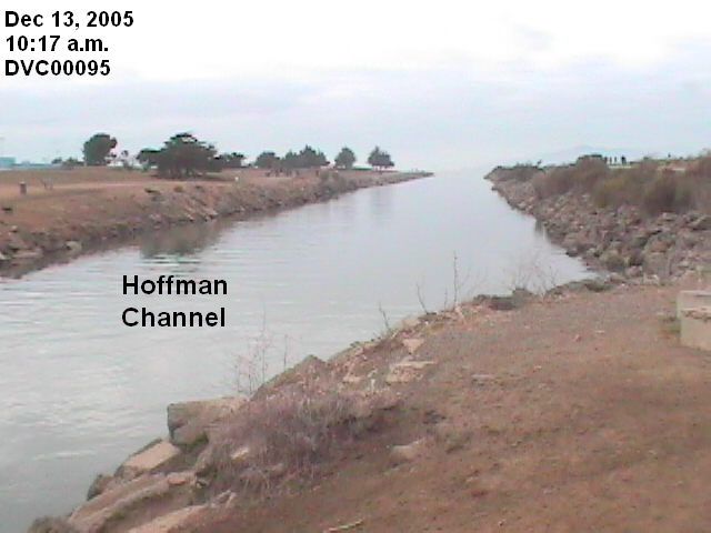
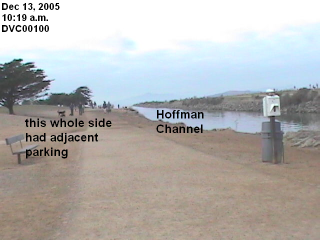
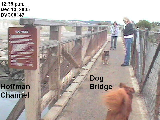
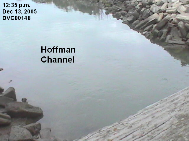
Armed with close-up pictures of Laci's body found on the rocks provided by various media, I again undertook the challenge of identifying the precise location. As I walked the Bay Trail to and from Point Isabel, I took pictures of the Hoffman Channel, which is accessible 24/7 and is adjacent to public parking. It may have been the way Laci was put into the Bay just before she was found. DVC00095-96 is at a water level of 6.60 feet. The high tide on the morning of April 14, 2003, was only 5.78 feet. DVC00148 was taken at approximately 3.36 feet, more than 3 feet lower. You can see the line between the light rocks and dark rocks, indicating the height of the previous high tide.
I arrived at Point Isabel during an ebb tide, with the water level rapidly decreasing. As noted on the December 13, 2005 field trip to the Richmond Jetty, the NOAA Richmond station does not have verified water level data for this date, and thus the verified data for the 9414290 San Francisco station must be used to calculate the water levels for Point Isabel. When I first put up the pictures, I miscalculated the water levels, to lower levels than were experienced. Since the water levels are below the high tides on April 13-14, 2003, the pictures taken on this field trip are not a significant factor for determining whether Laci may have washed ashore. For that reason, I have not retained the water levels on the pictures, giving only the date and time. The videos, however, still have the incorrect water levels. I note the correct levels with each link. I apologize for any confusion this may cause. See conversion chart.
The winds were calm, less than 7 mph, producing the gentle waves shown in the videos. I list the videos last so you can get familiar with the rocks, as the rocks are not labeled in the videos.
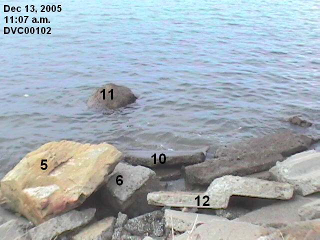
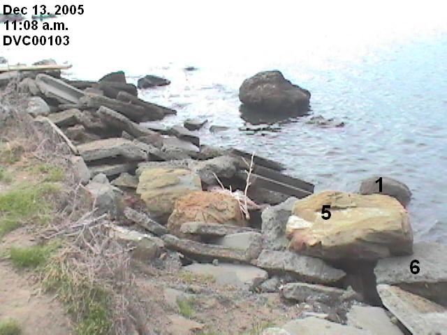
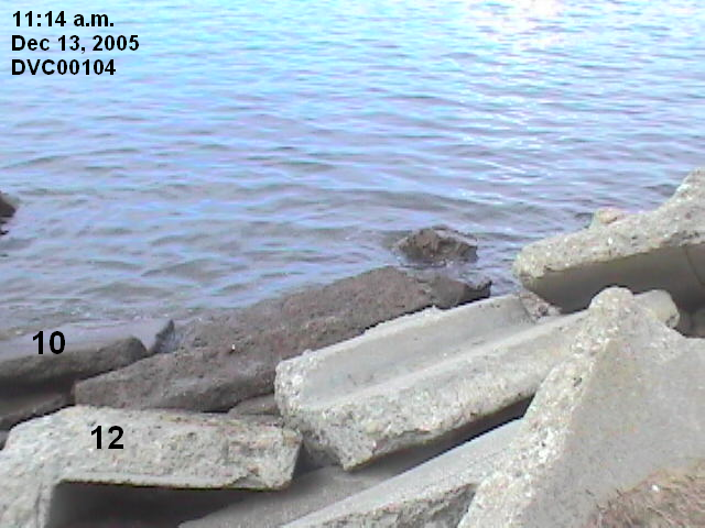
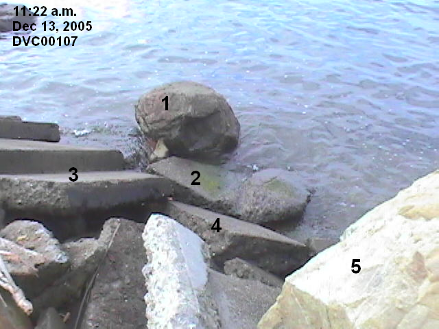
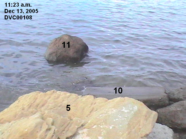
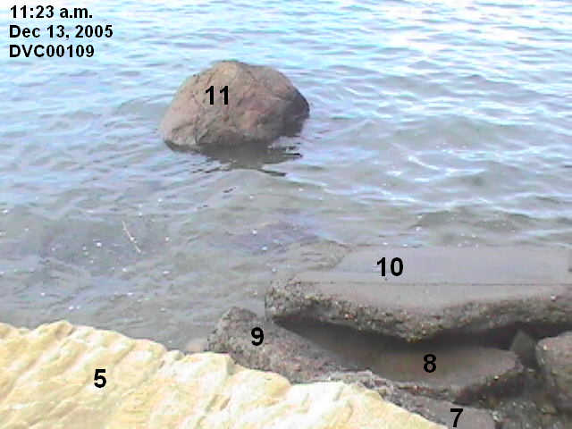
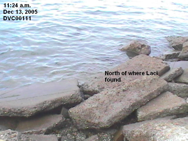
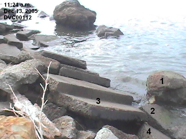
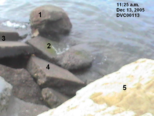
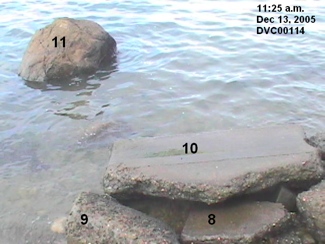
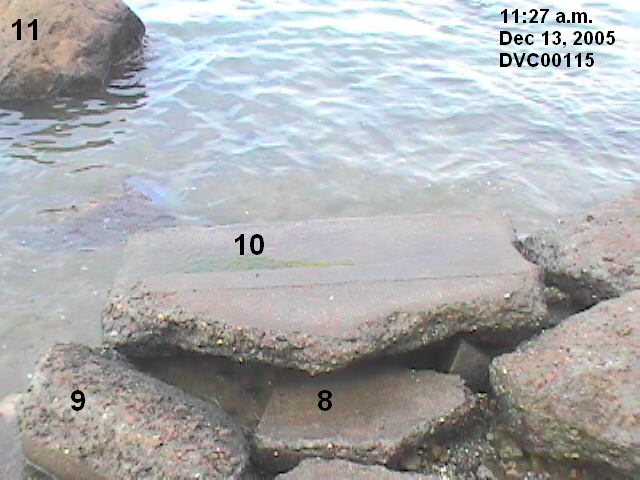
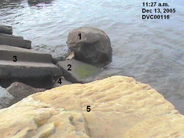
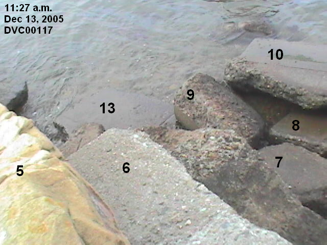
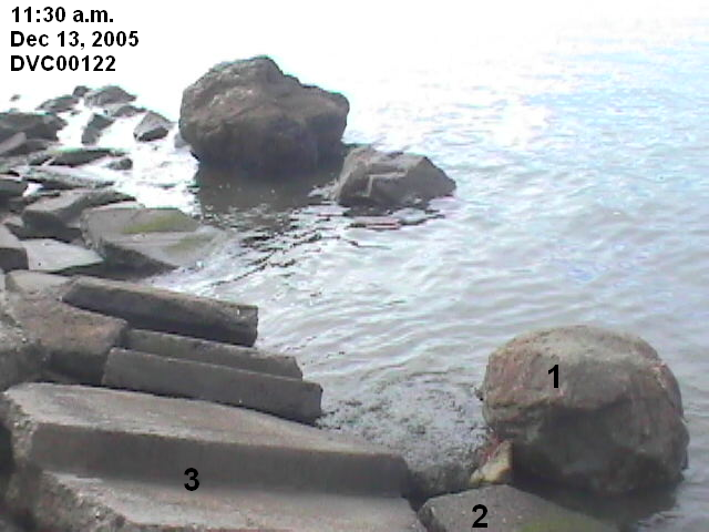
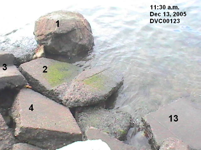
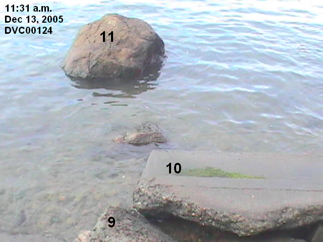
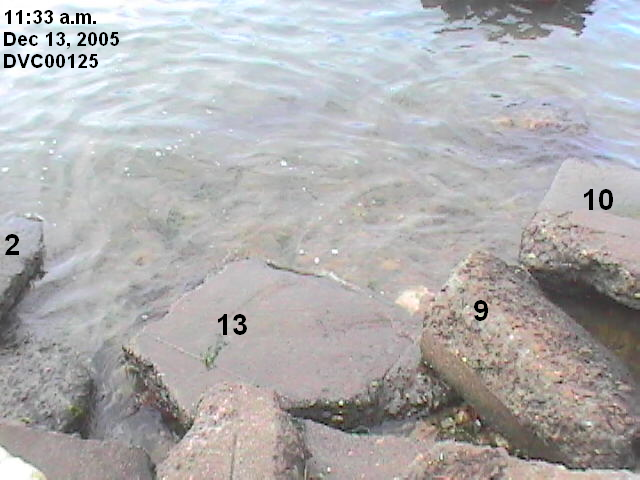
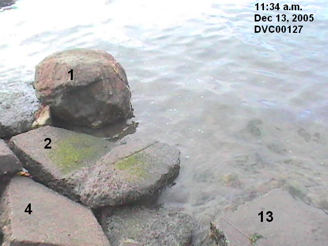
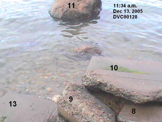
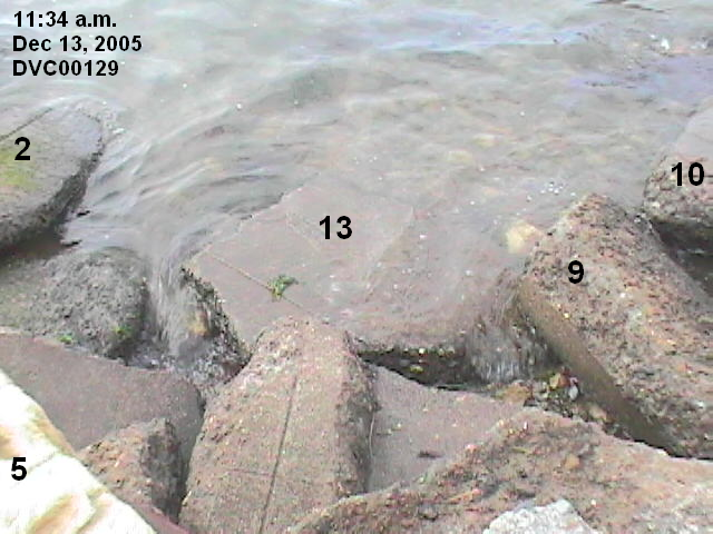
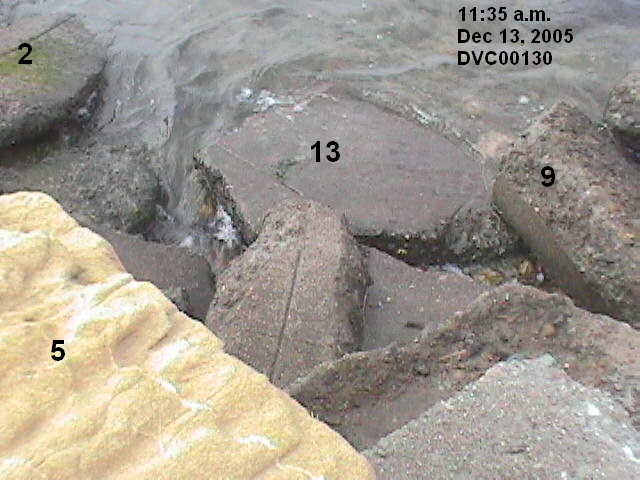
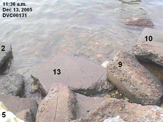
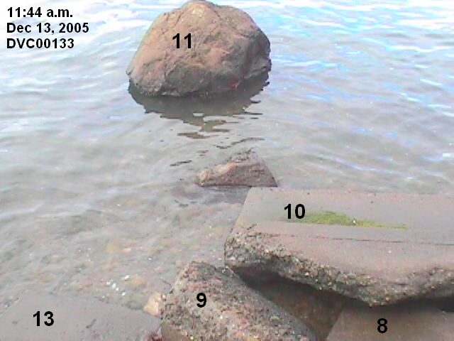
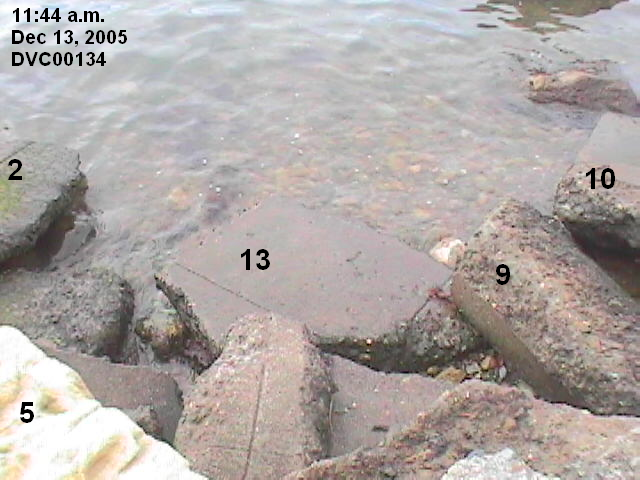
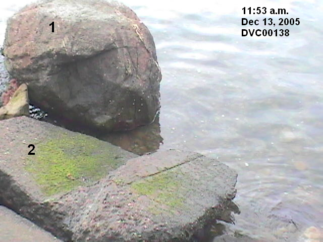
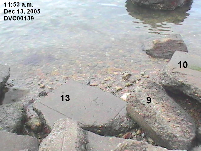
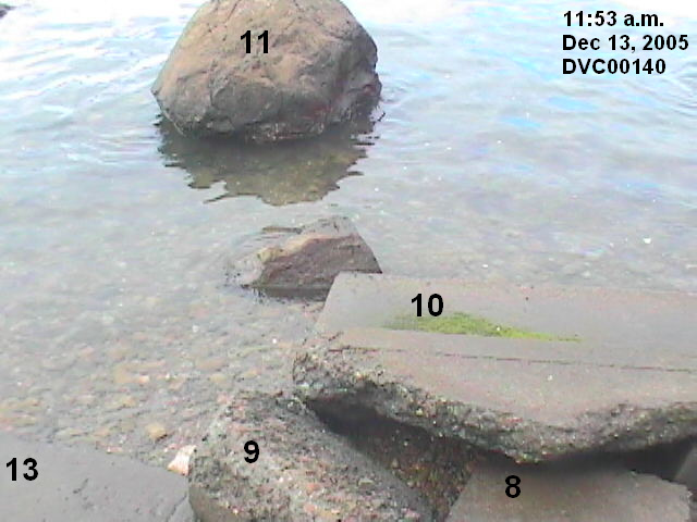
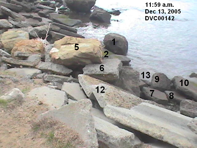
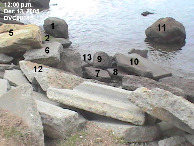
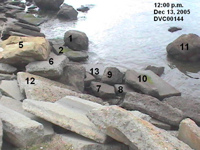
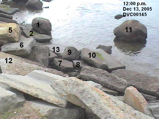
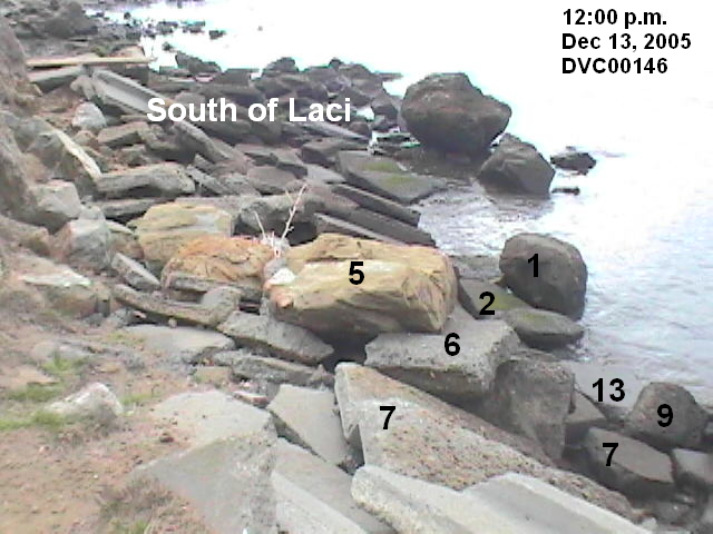
For the first picture, the water level was at 5.75 feet. For the last picture, the water level had fallen to 4.40 feet . Rock #13 is the rock Laci was on.


The videos are in 2 segments. The RealPlayer version is best for dial-up connections. If you do not have RealPlayer on your computer, click here for a free clone. In the first segment, the water level is almost at the 5.78 high tide on April 14. However, the first time the video focuses on rock #13 is at 4.96 feet (corrected to 5.05 feet], so the video provides no value for determining whether Laci could have washed ashore.
Segment 1 -- water level is from 5.63 feet [corrected to 5.75] to 4.93 feet [corrected to 5.02] WindowsMedia RealPlayer
Segment 2 -- water level is from 4.92 feet [corrected to 5.01] to 4.76 feet [corrected to 4.84] WindowsMedia RealPlayer