Richmond Jetty - July 11, 2004 & September 5, 2004
On July 11, Valerie Harris, George Harris, and I made a trip to the Richmond Jetty (Conner Recovery Site). Jeffrey Soler had testified on June 20 that baby Conner was found 73 feet inland from the west breakwater and 24 feet inland from the south breakwater. We placed a rock based on our measurements. The tide was a rising tide, but was only at 3.50-4.11 feet above MLLW during our visit. We made another field trip on September 5, 2004, which experienced a verified water level of 6.01 feet above MLLW.
If nothing else, these pictures prove that an object cannot just wash ashore at any time. On the beach, yes; but not on the Jetty.
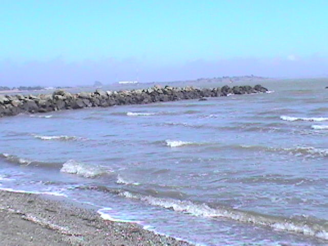
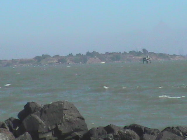
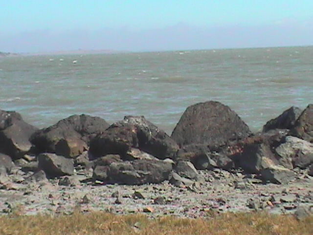
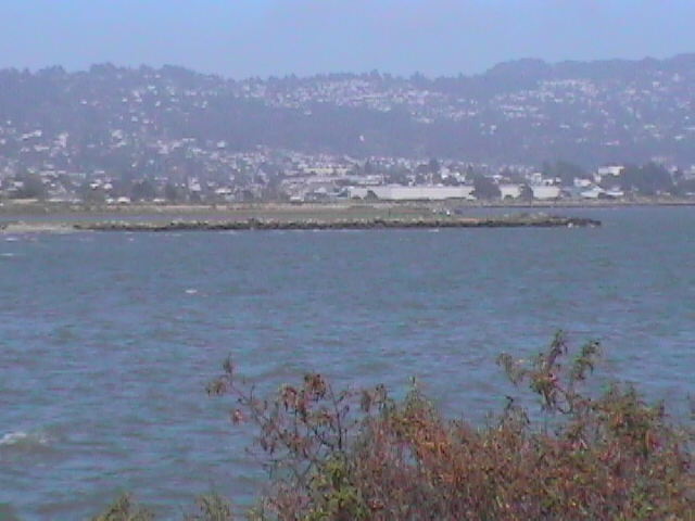
These first two pictures were taken at 4:21 and 4:22 p.m., as I was walking along the beach toward the Jetty. You can see the darker portion of the rocks that indicates the height of the previous higher high tide, which peaked at 6.05 feet above MLLW at 7:30 p.m. on the 10th. This tide is currently at about 3.50 feet above MLLW, 2.55 feet lower. This gives you a good idea of the size of these rocks.
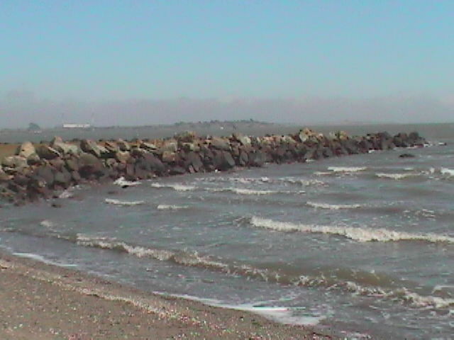
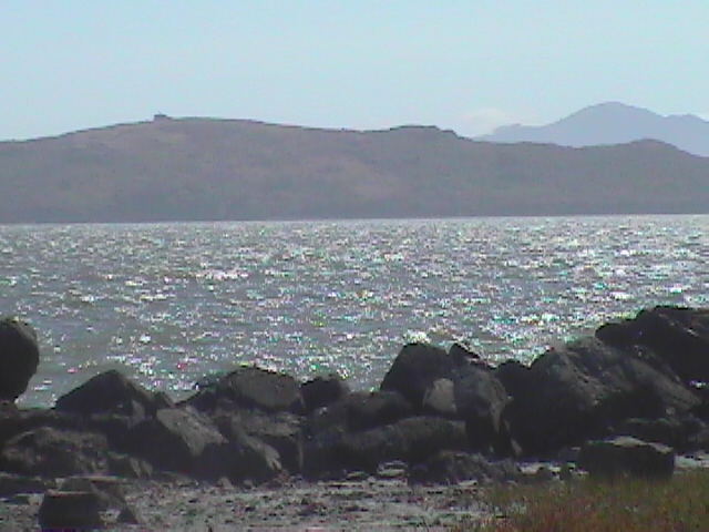
The first picture was taken at the north end of the west breakwater, looking south. You can see that it is pretty dry. 2 and 3 are of the southwest corner. You can see that it has a low spot just as you round the corner from the west to the south. This is the lowest point in both the west and south breakwaters.
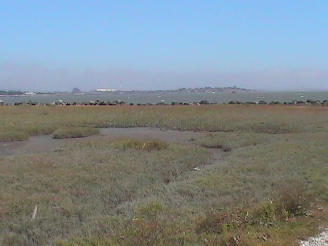
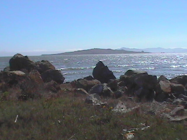
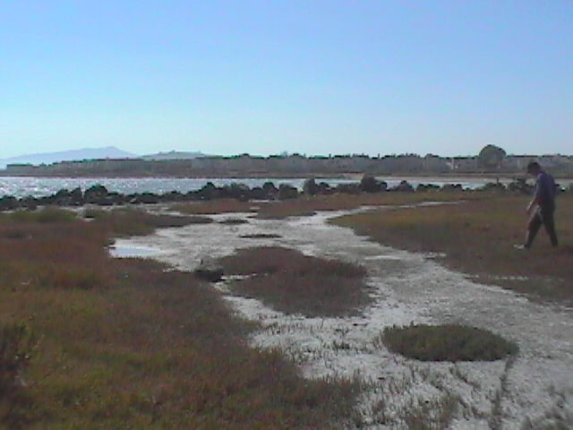
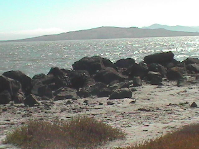
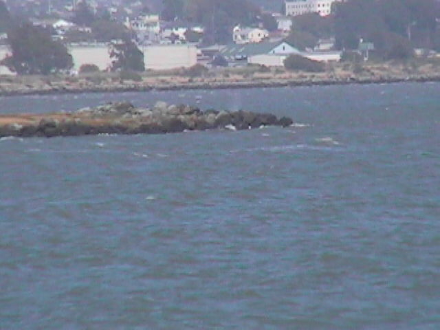
The rock in the forefront of these pictures is our estimation of where Conner was found, based on Soler's measurements. You can see a tidal pool from the previous higher high tide. The first two show Brooks Island in the background, and 3-5 show Richmond. In 4-5 you can see the path that comes from the west breakwater.

These are zoom pictures taken, looking towards the Albany Bulb (#1) and Brooks Island (#2).
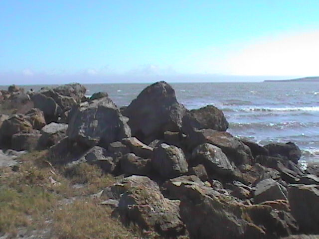
These three pictures are close-ups of the rocks right in front of where we believed Conner was found, moving from the east to the west. Brooks Island is in the background on 3.
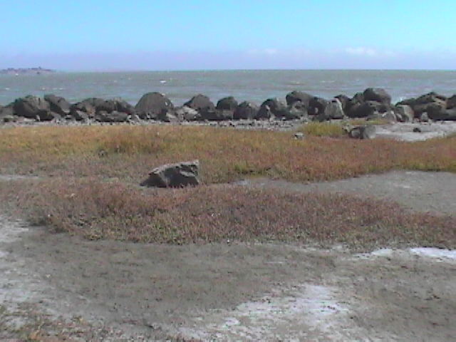
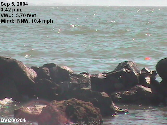
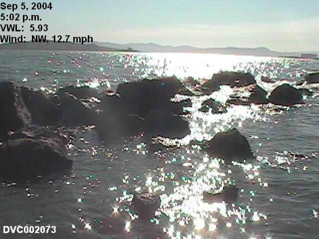
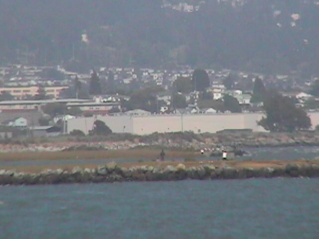
These next 5 pictures are of the same portion of rocks, taken on September 5, 2004, at higher water levels. The balloon in DVC00204 was a test we performed to see where the current would wash a floating object. We threw water-filled balloons into the water to the east of this spot, and without fail, they floated to the west, even though the wind was from the NNW. DVC002051-73 were taken at water levels higher than the 5.88 tide on April 13, 2003.


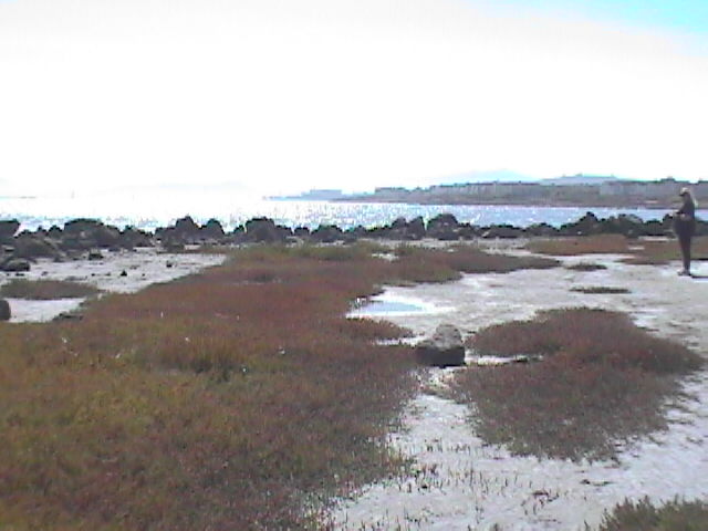
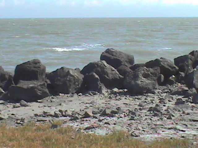
This next set of pictures were taken as we left the Jetty on July 11. You can see the dark bottoms of the rocks that indicates the tide has not reached the level of the previous higher high tide. Indeed, this tide in only at 4.11 feet, compared to the 6.05 foot tide on July 10.


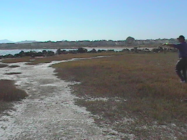
These last 3 pictures were taken at Shimada Park, where we parked. This is the only parking access to get to the Jetty. Walk or bike access is available coming from Point Isabel.


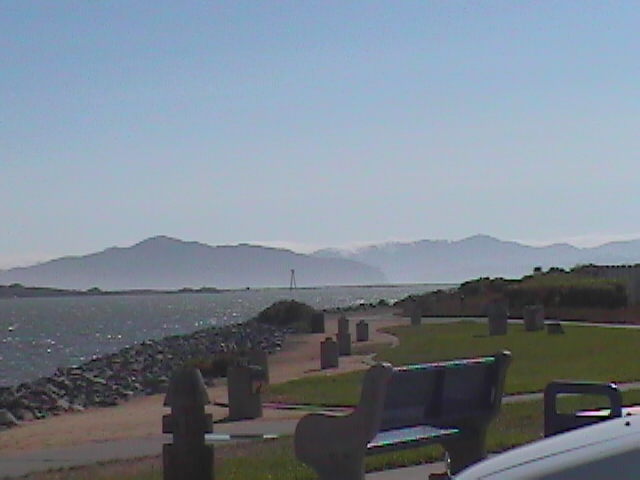
Here is another picture of the Shimada Park, which shows the parking area. Parking is closed between dusk and dawn. Click to enlarge.
![]()